Contacted in November 2021, ROAVR were asked to provide topographical data using unmanned system of the Moray East pipeline corridor.
This work is to help with project planning meaning the project stakeholders have up to date aerial mapping of the route for planning purposes so that they do not have to rely on off the shelf, out of date maps.
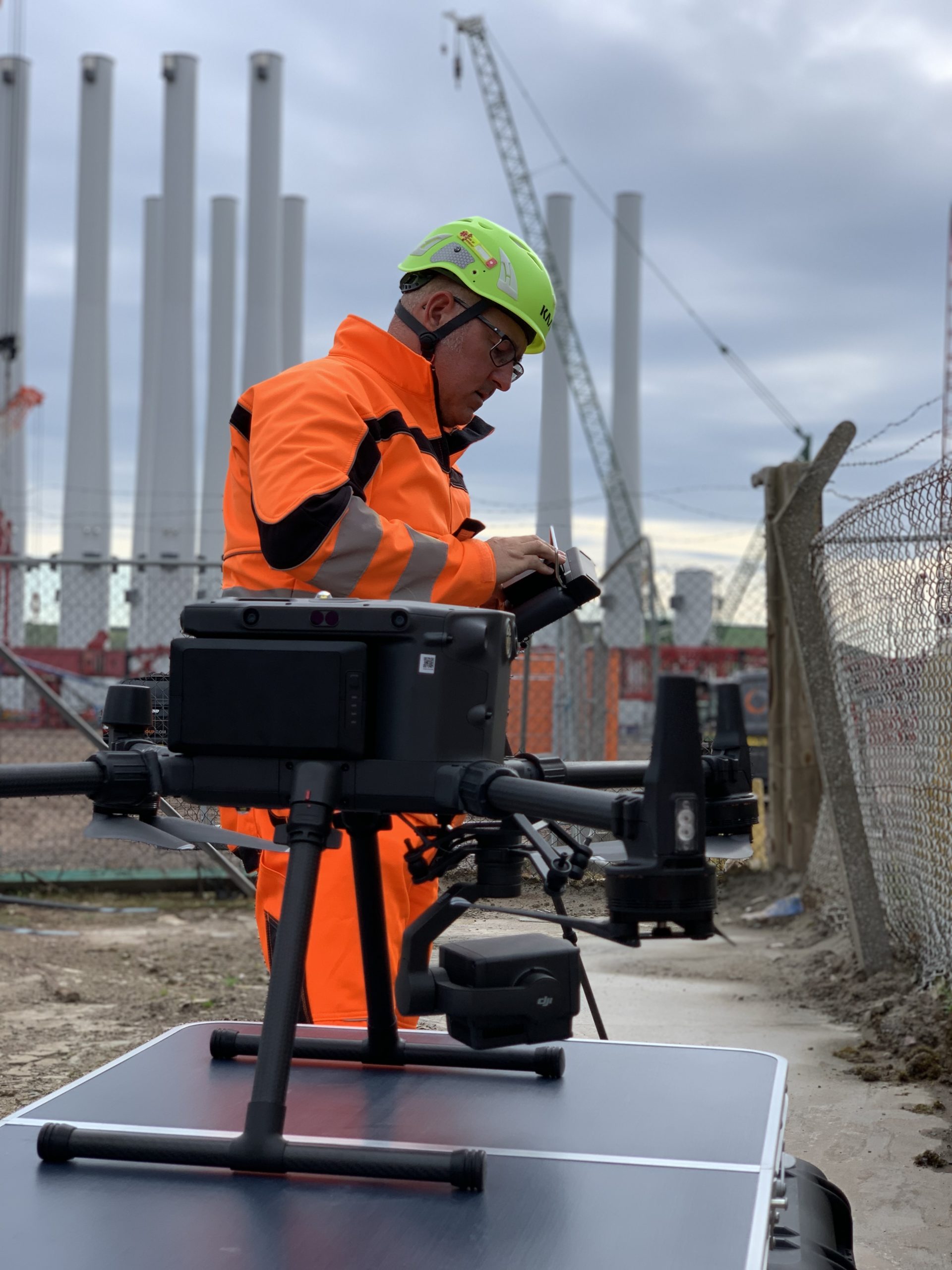
ROAVR chose the Sensefly eBee initially for the project, but due to access constraints we pivoted to the DJI M300 system fitted with a P1 camera system. This being vertical takeoff and landing meant we had wider scope for choosing take off and landing sites.
The project was flown RTK using an over the air subscription service with the resulting photogrammetry processed using Agisoft metashape. Accuracy was below 1.5cm.
A wide range of deliverables over and above the project specification were delivered on time and on budget.