What We Do.
Arboricultural Surveys
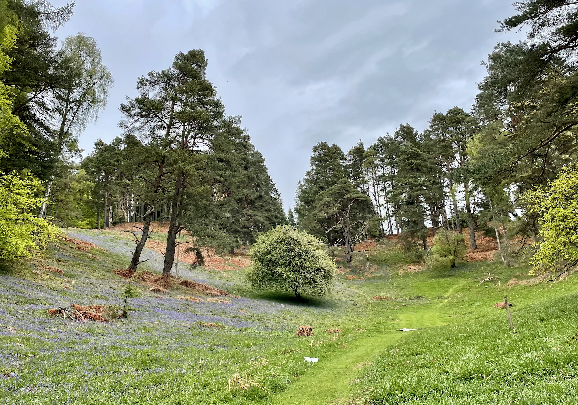
Our teams operate UK wide to provide our clients with tree survey support from BS 5837 compliant tree surveys for planning to tree safety surveys. We also provide arboricultural clerk of works services.
Ecological Surveys
Our ecologists based in Inverness, Cambridge, and Cheshire operate across the UK to provide clients with high quality surveys to support planning applications.
Aerial Surveys
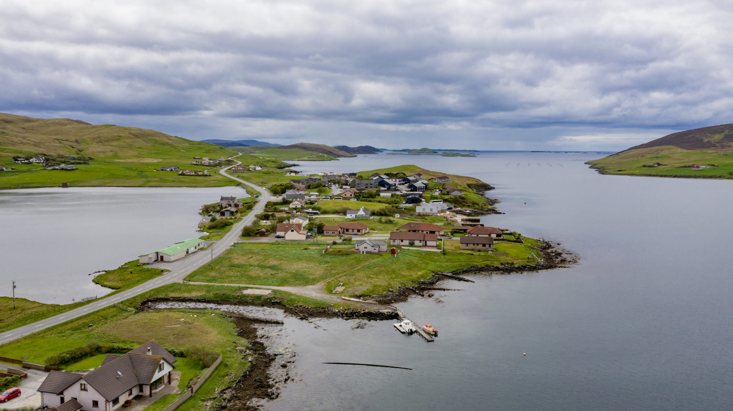
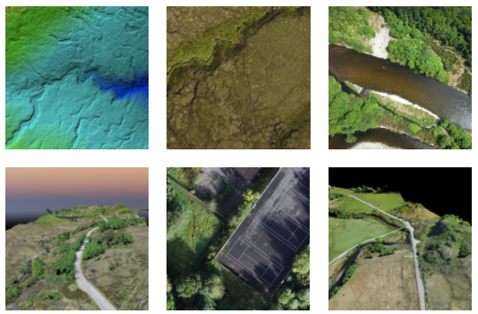
Using drones our survey team have carried out species monitoring, land surveys for renewable energy projects and mapped whole villages.
Protected Species Surveys
Our ecologists carryout protected species surveys to support planning applications each year in the survey season. Whether that be bat surveys, great crested newts of dormice.
Driven By Technology - Powered By People.
We are a multi-disciplined team driven by technology.
We are the only UK consultancy to deploy drone on every survey to collect imagery to support your project and give a unique site overview.
All our staff are either GVC orr A2 C of C qualified.
Arboriculture
ROAVR Group carry out nationwide tree surveys for homeowners, architects, developers and site managers that are looking for BS5837: 2012 compliant tree surveys to support planning applications. Working nationwide from bases in Scotland, Manchester, Cambridge and Guildford in Surrey we can get a surveyor to site in 2-3 days and your report 3-4 days after that. Get an Instant quote from >> www.go-roavr.co.uk
Ecology
A Preliminary Ecological Appraisal (PEA) is the first stage in any site assessment. It has three main elements: an ecological desk study; a habitat survey or phase 1 survey; and a written assessment. Following on from this we carryout protected species surveys and net gain assessments. >> https://www.roavr-environmental.co.uk/ecological-surveys
Aerial Survey
ROAVR provide the following services:
- Ortho rectified geo-referenced imagery for import into desktop GIS systems
- Digital elevation and digital service models
- Raw XYZ and LAS data for incorporation into standard surveys
- 3D models for planning and stakeholder interrogation
- Topographical data including contours
- Flood Risk Assessment
- Contaminated Land Surveys
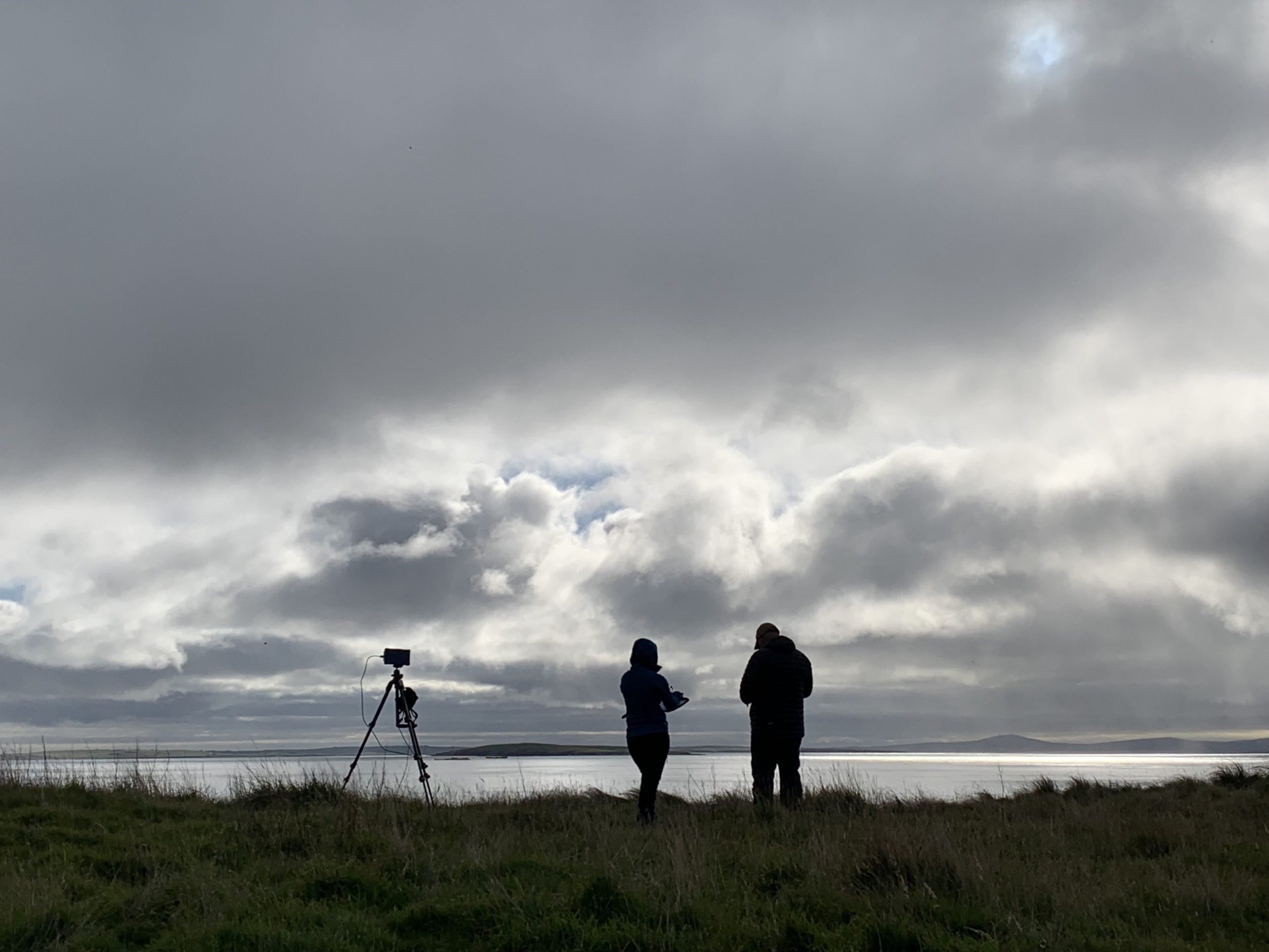
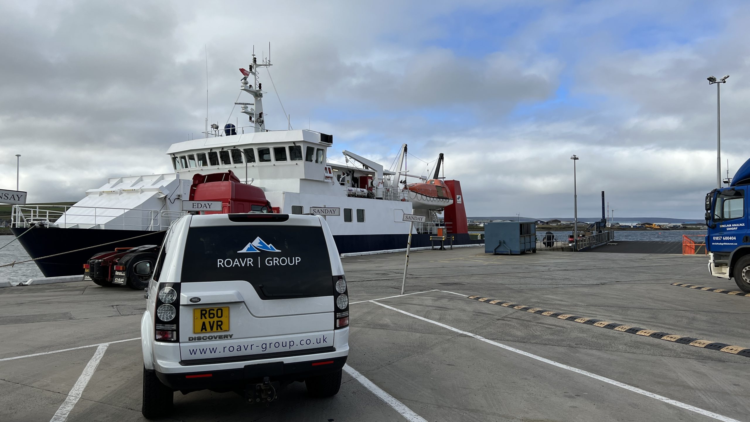
Case Study: ROAVR Deployed an aerial survey team to Eday in the Orkney Islands for a week monitoring and recording sealife activity in a world first study for EMEC.
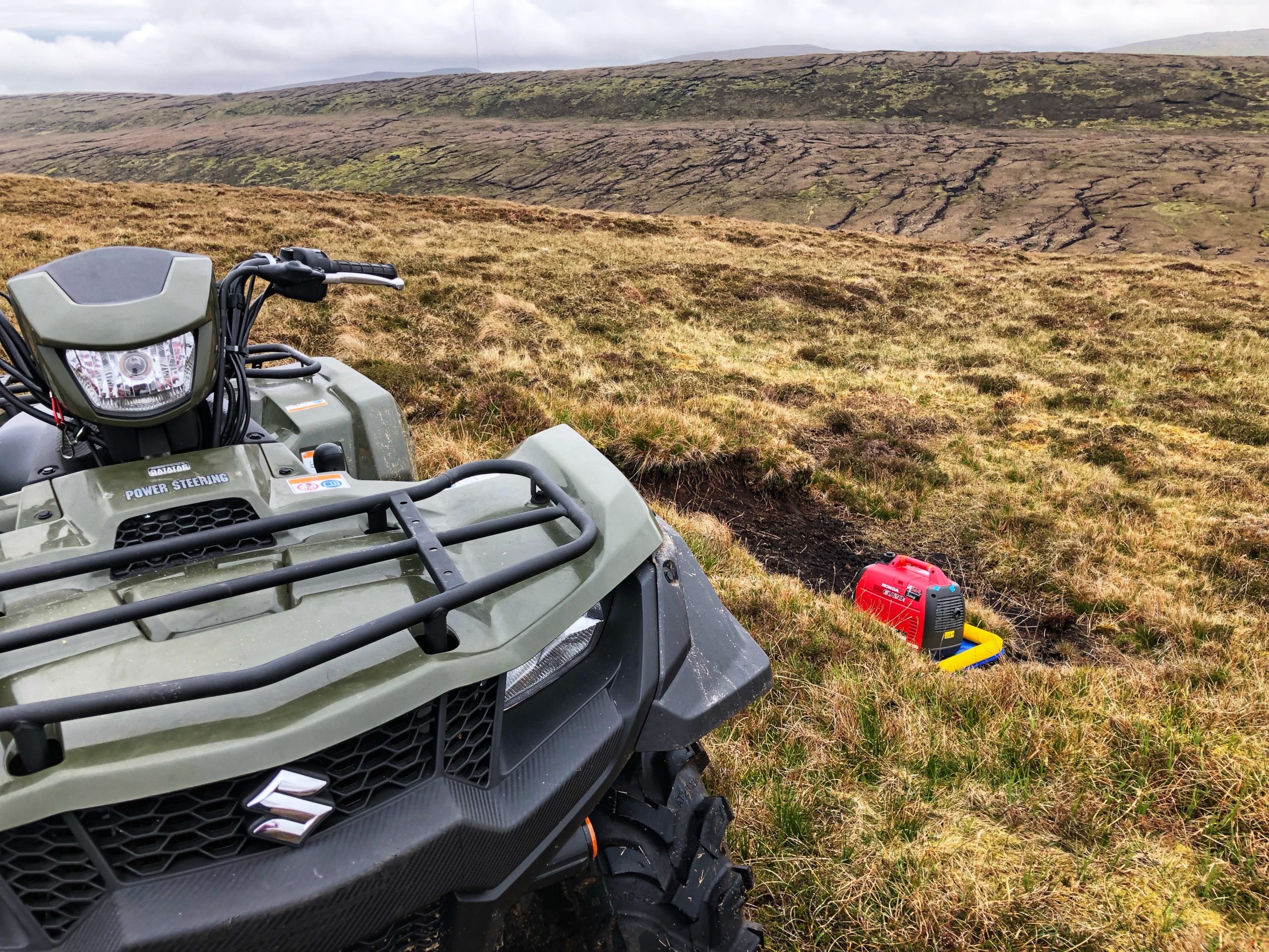
Case Study: ROAVR Deployed to the Shetland Isles to map the interior of Shetland for the forthcoming Viking project.
Group Websites & Contact Details
Need to us to help you? It all starts here.

how to reach us
Tel: +44 (0)1463 667302 - Switchboard
eMail: support@roavr-group.co.uk
Address: Woodland Solutions (Northern) Limited t/a ROAVR Group; The Green House; Beechwood Business Park North; Sir Walter Scott Drive; Inverness; IV2 3BL
